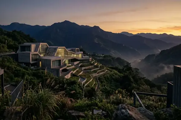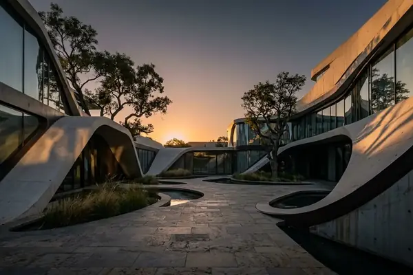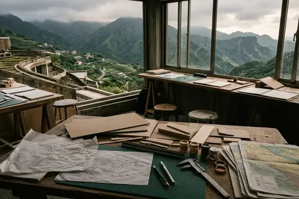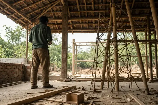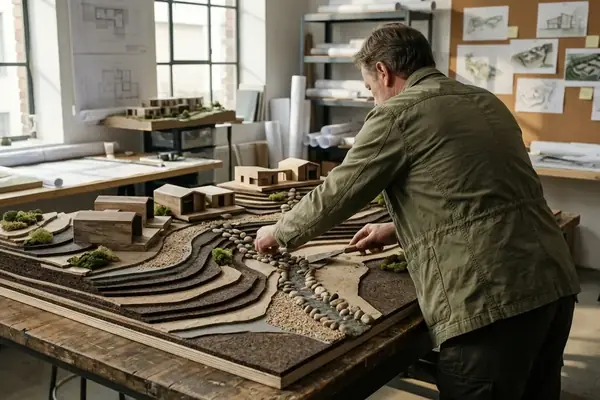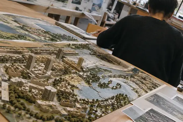
Next-Gene 20 occupies a forested ridge in Northeast Taiwan at latitude 25°N and longitude 121°E. Rain arrives in long seasonal pulses. Annual totals range from 2,800 to 3,200 mm. Twenty architects were asked to treat that ridge as a living system rather than a plinth for imported form. The question that shaped every villa was practical. Can a house with a globally recognizable hand survive that water, that heat, and that ground motion without fighting the mountain?
Quick Nav
- Log 01: The Historical Precedent at 25°N 121°E
- Log 02: Analyzing the Topographical Clash
- Log 03: Subordinating Form to the Monsoon
- Log 04: A Blueprint for Topographic Integration
Log 01: The Historical Precedent at 25°N 121°E
The first master plan treated the ridge like a temperate coastal lot. Glass-curtain luxury models, drawn from cooler latitudes, lined the slope in the early drawings. Those sheets looked expensive in the boardroom. They also looked sealed against a climate that does not permit seals.
Thermal imaging of neighboring developments told a harder story. Unshaded glass held heat long after sunset. Interiors stayed warm when the night air finally dropped. Condensation tracked the frames. The design committee set the imported model aside and required site-specific ecological integration from that point forward.
This is the monsoon-driven thermal load pattern that still shows up in unshaded glass facades across the belt. Compare a sealed curtain wall after three days of subtropical sun with a deep-eaved timber volume on the same contour. One radiates stored heat into the rooms. The other sheds it toward the trees.
The turning point was institutional as much as technical. Developers who had purchased a signature wanted that signature to remain legible in photographs. Architects who had built reputations on crisp geometries wanted those geometries intact. The ridge offered little courtesy. Humidity, rain, and slope made stubborn form costly to maintain.
What remained was a useful tension. How does a house keep a recognizable architectural hand while meeting the requirement of ecological survival? Next-Gene 20 framed that tension as the brief. Twenty practices would work the same mountain under the same climate rules. The mountain would grade the work.
A short field note from those early reviews still holds. If the envelope cannot dump heat and water, the name on the gate does not carry the asset.
Why Temperate Curtain Walls Buckled at This Latitude
Temperate glass logic assumes drier air and a modest solar path. At 25°N the sun sits high, the wet season is long, and the forest holds moisture against the skin of the building. Rigid boxes with large unshaded lights collected both. Once the imaging made that visible, the committee stopped arguing about style and started arguing about shade, porosity, and the path of water.
Luxury residential value on this ridge now tracks that argument. A villa that photographs as avant-garde and still performs through the wet months holds its architectural premium. A villa that only photographs well starts to look like a maintenance plan.
Log 02: Analyzing the Topographical Clash
Localized weather sensors went in across the site before massing studies resumed. The engineering team used those readings to write structural mandates that sit above purely aesthetic proposals. Walk the data the way they did.
Peak ground acceleration resistance was set between 0.32g and 0.40g. That range governs connections, bracing, and the weight of any cantilever drawn for drama. Sustained relative humidity sits between 78% and 85% through the monsoon months. Finishes, fasteners, and cavity design have to live in that band.
Seasonal monsoons drive rain against the upslope face and then pull it down every fold in the topography. High humidity keeps materials wet between storms. Seismic demand asks the frame to flex without tearing the envelope. Those three stressors arrive together. A house that solves only one of them still leaks, still overheats, or still over-stiffens.
Set a familiar signature move against that stack. Expansive, unshaded glass. Rigid geometries that ignore contour. Thin overhangs drawn for elevation purity. The friction is immediate. Glass becomes a solar collector. Tight corners collect wind-driven rain. A geometry that refuses to step with the slope either cuts the hill or hangs in a way the seismic budget cannot afford.
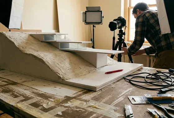
Monsoon Glass Risk
Unshaded curtain walls on this ridge store heat through the wet season and then dump it into occupied rooms after dark. Specify shade and porosity before you lock the facade module.
The friction analysis and the structural mandates that follow apply strictly to subtropical mountainous zones with slopes exceeding 15 degrees. Flatter coastal sites present entirely different wind-shear profiles. Treat that scope as a hard edge.
Does a signature still count as a signature if the site has to be rebuilt to receive it?
When the Elevation Fights the Contour
Compare two approaches on the same steep contour. One drops a prism and grades the land to match. The other lets the plan break, steps the floor plates, and keeps the existing drainage folds. The first looks resolved in a rendering. The second looks unresolved until the first long rain. After that, the stepped plan is the one that still drains.
The same comparison holds in other extreme climates, from high desert diurnal swings to boreal freeze-thaw, even though the numbers in this log belong only to the subtropical mountain band. Signature style and site reality collide wherever the drawing set arrives before the weather does.
Where the sensor record is concerned, the finding is blunt: aesthetic proposals that ignore the 0.32g to 0.40g demand and the 78% to 85% humidity band do not get built on this slope.
Log 03: Subordinating Form to the Monsoon
Deep overhangs extending 1.8 to 2.4 meters beyond the exterior walls became the first shared dimension. Architects arrived at that range by modeling seasonal monsoon rain trajectories and solar angles. The extended roofs shield primary living spaces. They also give the elevation a shadow line that reads as intention.
That is the methodological shift across the Next-Gene 20 roster. Ecological integration moved ahead of personal aesthetic. Form still matters. It answers the monsoon first.
Walk a wet-season afternoon on the ridge and the overhang does three jobs at once. It cuts high sun before it hits glass. It throws wind-driven rain past the sill. It keeps the deck dry enough that timber can dry between pulses. Those jobs are why the dimension is a range rather than a gesture.
Porous materials handle rainfall totals that temperate detailing never saw. Screens, rainscreens, and open joints let the envelope breathe at 78% to 85% humidity. Water that cannot be kept out is conducted, dripped, and released. Closed cavities that look refined in a dry climate become wet assemblies here.
Existing root systems stayed in place wherever the plan could flex. Trees on a steep slope are drainage infrastructure. Remove them and the next rain finds a new channel through the retaining work. The clearer plans threaded piers between root plates and left the canopy to shade the roof.
Overhang Depth Range
Model rain trajectories and noon sun together. On this latitude the 1.8 to 2.4 meter overhang keeps glass in shade during peak load without turning the interior into a cave.
Visionary work on this ridge asks the architect to act as a translator of the landscape. The contour, the runoff, and the windward face already contain a plan. The job is to read it, then write a house that can be photographed without lying about the weather.
For the shading logic itself, pair monsoon trajectory models with established passive cooling and shading strategies. Generic sun-path tools miss wind-driven rain unless you add the trajectory work used here.
One limit belongs in this method. The overhang range and the porosity rules were calibrated to this ridge and this rainfall band. Copy the attitude, then recalibrate the millimeters.
A house that translates the mountain will still carry an author's hand. The hand shows up in how the overhang meets the column, how the screen is woven, how the plan breaks on the contour. Survival and signature occupy the same drawing.
Log 04: A Blueprint for Topographic Integration
The foundation strategy was finalized by mapping the natural watershed during peak rain events. That map dictated where isolated supports could stand so water could keep moving under the buildings.
Read the Runoff Before Anyone Cuts
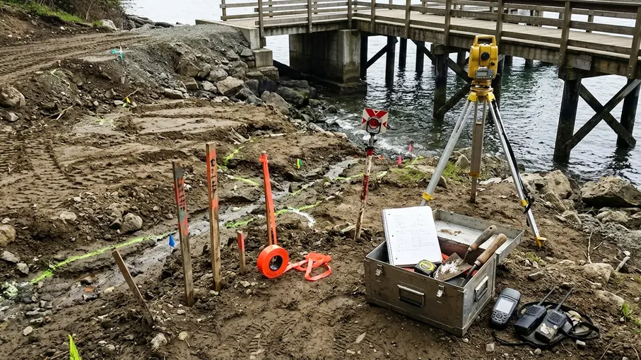
Conduct micro-topographical mapping to identify natural water runoff channels before any earth is moved. On this project the mapping window ran 22 to 28 days, long enough to catch more than a single storm pulse. Crews walked the folds, marked rills, and recorded where leaf litter already showed repeated flow. The channels missed in the first week tend to appear under a pier later.
Lift the Floor Off the Hill
Elevate the primary structure using a localized stilt or pier foundation system. Pier foundation systems here raise the primary structure 0.6 to 1.2 meters above grade. Terrain and water pass underneath. The villa occupies air the mountain already offered.
Specify isolated piers. Each pier finds bearing outside the mapped channels. The gap under the floor is a working hydrologic section. Continuous grade beams belong on flatter ground; on a slope exceeding 15 degrees they act like a dam.
Timber That Accepts Splash
Select and treat locally sourced, moisture-resistant timber for screens, decks, and any member that sees splashback from the 0.6 to 1.2 meter gap. Local supply shortens the chain. Treatment and detailing keep the grain from sitting wet at 78% to 85% humidity.
Topographic Integration Blueprint
- Conduct micro-topographical mapping to identify natural water runoff channels.
- Design localized stilt or pier foundation systems to elevate the primary structure.
- Select and treat locally sourced, moisture-resistant timber for splash-exposed members.
Watershed First
If the runoff map and the pier grid disagree, move the grid. The mountain already voted.
One Villa Walked Through the Next Storm
Take a single-family villa on a subtropical mountain lot with a slope exceeding 15 degrees, in a rainfall band of 2,800 to 3,200 mm, at a latitude near 25°N. The client wants a recognizable modern elevation and a glass living wall facing the view.
Run micro-topographical mapping for 22 to 28 days. Flag every runoff channel that crosses the proposed footprint, plus any rill along the upslope edge. Leave the ground uncut while that record is open.
When the mapping window closes, shift the plan. Move the living wall one structural bay downslope so the primary channels pass between pier lines rather than under a pad. Keep remaining channels outside the envelope.
Set isolated piers and land the primary floor 0.6 to 1.2 meters above grade, following the fall of the hill so the gap stays inside that band. Beams span the channels. Nothing continuous blocks flow. Size the frame for peak ground acceleration between 0.32g and 0.40g, and brace the stilts in the short direction.
Keep the view wall in glass, under a roof that overhangs 1.8 to 2.4 meters. The glass stays in shade through the high sun. Screens in moisture-resistant local timber take the windward splash. Leave existing root plates in place and offset piers as needed to miss them. The elevation still reads as a single authorial gesture because the overhang, the screen weave, and the broken plan belong to the same hand.
After the first peak rain, water runs the old channels, under the house, into the forest below. The interior does not take the thermal load of an unshaded curtain wall. The resulting section records the sequence: 22 to 28 days of mapping establish the channels, the floor sits 0.6 to 1.2 meters above them, and the 1.8 to 2.4 meter overhang shades the glass as the monsoon passes beneath and beyond the villa.