Quick Nav
- The Myth of the Isolated Masterpiece
- Analyzing the Failure of Disconnected Starchitecture
- Frameworks for Topography, Utilities, and Access
- Frameworks for Ecology, Climate, and Materiality
- Prioritize the Invisible Grid Over the Visible Object
The Myth of the Isolated Masterpiece
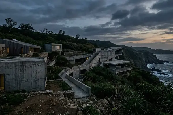
Radical architectural individualism thrives on a rigid, highly socialized infrastructural grid. The villa that looks solitary in the photograph still draws power, sheds water, and receives guests through systems designed for the whole hillside.
Luxury residential marketing still sells the freestanding object: a signature roof, a private cliff edge, a façade that answers only to itself. That image collapses under field conditions. When each plot manages drainage alone, runoff finds the path of least resistance and produces cascading soil erosion across lower elevations. The planning committee behind Next-Gene 20 reached this conclusion by studying earlier luxury developments where isolated utility planning generated spatial conflicts between neighbors who never intended to share a problem.
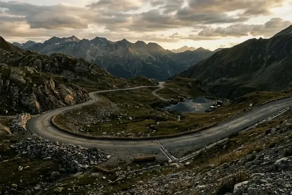
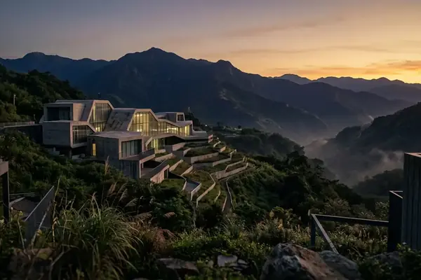
They spent 45 to 60 days of continuous LiDAR mapping to lock a baseline topographical grid across slopes with gradients from 12 to 28 degrees. That survey work made the thesis concrete. Avant-garde form can stay wild only when the communal layer underneath stays disciplined. Shared trenches, graded corridors, and common access routes free each architect to push massing and material without inventing a private city every time a pipe turns a corner.
Analyzing the Failure of Disconnected Starchitecture
Hydrological simulations on the Taiwan site forced a hard choice early. The development team first floated the idea of letting each of the twenty architects specify bespoke drainage for a single plot. Modeled monsoon events pushed simulated runoff volumes past 14 to 18 liters per second. Under that load, lower-elevation foundations faced a projected 3 to 5 years before localized soil saturation would compromise integrity.
The bespoke option died on those numbers.
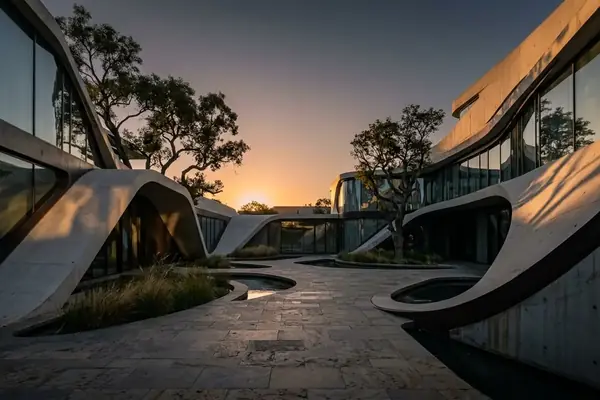
Next-Gene 20 then became the counter-model: twenty distinct architectural signatures on one masterplan, held together by shared utilities and access rather than stylistic compromise. The tension never fully disappears. A villa wants a unique silhouette; the hillside wants continuous fall lines, stable power routing, and roads that do not carve the ridge into fragments. Operational failure shows up first as ponding at property lines, then as emergency grading that scars the very landscape the architecture claimed to honor. Ecological failure follows when each plot’s edge becomes a hard boundary instead of a managed transition.
Monsoon Load CheckTreat peak runoff as a site-wide budget. Once volumes climb into the mid-teens of liters per second, plot-by-plot drainage stops being a design freedom and starts being a liability for every foundation downhill.
Frameworks for Topography, Utilities, and Access
Three practical frameworks keep the grid invisible while keeping the villas viable.
Topographical Integration
Gravity remains the cheapest pump on a steep site. Shared drainage follows natural contours so water moves through a common network instead of leaping from one private system into another. On gradients between 12 and 28 degrees, that alignment reduces the need for mechanical lift and cuts the risk of the cascading erosion pattern that appears when plots drain in isolation.
Concealed Utility Spines
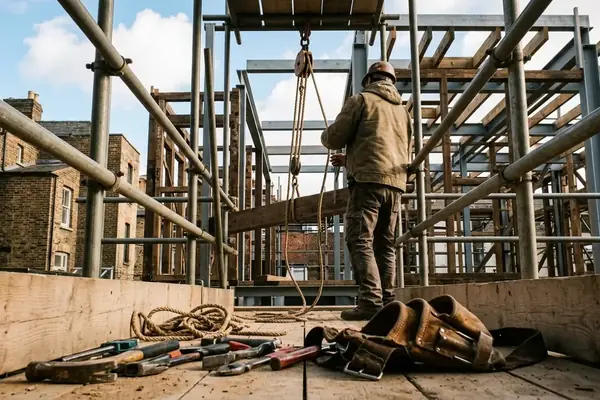
Engineers finalized the spine layout by tracing the site’s natural ravines. Main power and water arteries follow those softer corridors rather than cutting straight lines through bedrock. Trenching depths stay on the order of 1.8 to 2.2 meters, with depth adjusted where bedrock rises closer to the surface in mountainous stretches. The excavation phase ran 90 to 115 days—long enough to bury the network completely and leave the visual field to architecture and canopy.
Communal Access Nodes
Shared roads and paths concentrate disturbance into narrow bands. Private vistas stay intact because the approach sequence peels away before the final arrival court. Walk the sequence in order: lock the topographical drainage logic, seat the utility spine in the ravines, then thread access nodes so service vehicles and residents share the least damaging footprint. Each step protects the next villa’s claim to solitude without pretending the hillside is empty.
Frameworks for Ecology, Climate, and Materiality
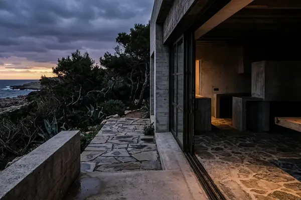
Native stone and timber on every shared wall, curb, and retaining edge give twenty unrelated façades a common ground plane. The landscape team cataloged local geological composition first, then mandated those materials for communal infrastructure so the masterplan reads as one place even when the roofs disagree.
Ecological corridors between plots measure 15 to 25 meters wide. They carry biodiversity, soften stylistic collision, and double as buffers when one villa’s glass volume sits beside another’s heavy masonry. Wind-block positioning across the cluster trims prevailing gusts by 3 to 5 meters per second, which matters on exposed ridges where outdoor rooms only work if the group plan shares shelter.
Density BoundaryMicro-climate zoning of this kind performs cleanly in low-density ecological zones. Dense urban infill demands heavy adaptation—tighter setbacks, different wind regimes, and far less room for 15-to-25-meter buffers, so the same playbook cannot transfer without redesign.
Material continuity does quieter work than any single landmark villa. A visitor registers the stone path and timber guard before decoding the avant-garde envelope beyond it. That sequence is deliberate. The communal layer absorbs difference so difference can remain legible.
Prioritize the Invisible Grid Over the Visible Object
Project directors froze the master infrastructure plan before approving any individual villa. An initial 8 to 10 months went solely to subterranean and access engineering. Each later villa then faced a mandatory 30 to 45 day review against that grid. Architects entered the site with constraints already load-bearing: trench locations, drainage falls, corridor widths, and access geometry fixed in advance.
That sequence reverses the usual vanity order of operations. Sketching the object first and retrofitting utilities later produces the disconnected starchitecture pattern the simulations already rejected. The shared grid carries the real ambition of ecological luxury—continuous water logic, buried power, protected slopes, and corridors that let twenty visions coexist without eroding the ground they stand on.
Design and finalize the communal infrastructure before a single villa line hits the page. The invisible grid is the masterpiece; the buildings are guests that earn their place by obeying it.